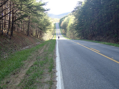
Today we go up to the in-laws for Fri/Sat holiday visiting. Each time I go to Maysville I try to throw in an interesting ride. It's such great country to spin in, w/ hills, empty, rural backroads, the flora and fauna of central KY, and generally speaking, wind as well. My one concern is always the difficulty of the terrain. Instead of massive mountains, it has hill after hill after creek and hill. After riding with LithoBeast and the like, I understand that my climbing is nil to non-existent. Last year on Turkey weekend I did a nice 46-miler. I remember it well b/c it was quite cold and I had to stop and buy some extra gloves, in this case hunter orange dot gloves. No, NOW I remember. I came completely upprepared and had to visit Wally World. For that weekend ride I purchased a $12 rain jacket- which became my outer layer-, $10 wool gloves and THEN bought the $2 hunter orange gloves on the ride. It was fun, though.
The point of this long-winded tripe is that to do KY rides I have to rely on more than googlemap resources. Time and time again googlemaps are just slightly off from the what local roads provide. What is doubly difficult is that even the state KY maps can sometimes mismark local road names. With these difficulties, to do rides in rural areas far from civilization, I incorporate a variety of map resources. I usually begin with a broad idea via googlemaps. If it's a particularly rural route, perhaps outside of the JeffCo/Louisville Metro area, I turn to more local maps. Originally I would peruse, and then copy, maps from the KY County Maps series book. The difficulty with that is its bulkiness; it's nearly uncarryable on a ride. In the past I've made copies of the pages, but the relative difference is page sizes made for ugly, truncated maps. A further resource that I used/use is from the UofK, in this case from their map department. It's a listing of all counties with multiple maps from which to chose, including both older maps (1950s) and more recent ones in both GIF and TIFF formats. I spent some time this morning trying to do some printing from these. After some lack of success getting the necessary resolution, I returned to an oft-used source, in this case country maps from KY State Planning. These present maps in PDF format, which I found is best for printing specific "this view" formats of the maps, thereby focusing in on specific portions of counties I need while jettisoning extraneous space. A further conundrum is that previous county maps, as found in the book map series, were in black and white, which certainly makes for the best contrast. Some of the "updated" maps out of planning are in 3-color, which decreases the contrast and makes for an unattractive printing aesthetic. I have also noted that the newest color planning maps chose to leave out some road names here-n-there; that can be questionable as well.
I don't know what other folks use, but I'm a map guy instead of a route slip guy. Because rural road names vary so much, and road signs are often NOT posted out in the boonies, I can't rely on route slips. Today in the new Baggins Bar Bag I'll have maps of Nicholas Co., Robertson Co., and Mason Co., all of which will provide me the necessary info to not get hopelessly lost in the middle of nowhere.
**As an aside, a few years ago either Nicholas Co. or Robertson Co. was listed as the poorest per capita country in all of KY. This whole region is in the upper bluegrass, and is not considered Eastern KY, which is the "classic" Appalachian stereotype of poverty. As a further note, the author Barbara Kingsolver is from Carlisle KY, where her father was a country doctor. She got the hell out when she could. It's poor, but it's beautiful country.

2 comments:
If you haven't read "The Bean Trees," you should -- the heroine of the story is from that part of KY and leaves so she won't be poor and pregnant at seventeen...
Hope your T-giving riding was great!
--Laura
In terms of maps, I have a Gazetteer & Atlas by Delorme. My Indiana one was tremendously useful. My PA one is useful too, but it's not as good about road names. The biggest downside, though, is that they are pretty big map books. I often fold mine over and strap it to my rear rack. Not an elegant solution, but it works.
Post a Comment